

Lake District Low-Level Walks for Beginners: A First-Timer's Guide
The Lake District has a reputation for big, serious days out: Helvellyn's edges, the boulder fields of Scafell Pike, the full Fairfield horseshoe. None of that has to be your first taste of the place. The valleys and lakeshores are where plenty of locals walk on a free Sunday, and they're the best classroom for learning how the national park works — the bridleways, the gates, the weather that turns up uninvited. Start low, and you'll finish the day pleased rather than pummelled.
Low level doesn't mean flat or tame
Think of low-level walking here as valley floors and lake shores, generally under about 100 metres of ascent and between two and five miles long, on paths that are established and easy to follow. That is not the same as a stroll round a park. Most Lakeland paths include rocky sections, root steps and mud, and a short climb will almost always appear somewhere. After heavy rain, a path that looked simple on the map can be a shallow stream with a slippery stone base.
Distance and ascent matter less than underfoot conditions and daylight. A flat four-mile lakeside circuit in December, when dusk arrives by half four, is a different proposition from the same walk in June.
Six routes to cut your teeth on
Buttermere circuit, 4.5 miles
The classic beginner's walk and deservedly so. The path rings the lake between steep fells, with a short tunnel at the northern end and a couple of gentle pulls. Allow two to two and a half hours. The Honister and Buttermere buses serve the village in season.
Tarn Hows, 1.75 miles
Between Coniston and Hawkshead, this National Trust tarn has a wide, well-made circuit that is about as gentle as Lakeland gets. Good for a first outing with children or for a leg-stretch on a driving day. Arrive early — the car park is small for its popularity.
Grasmere to Rydal Water, 4 miles return
Follow the shore path south from Grasmere, past the outcrop at White Moss, then along Rydal Water. Mostly level, with a few steps, and easily shortened by turning back whenever you like. Wordsworth's daffodils were written about this stretch, and it's still the best place to see them in spring.
Keswick to Friar's Crag, 1 mile each way
A flat shoreline path from the Keswick launch jetty through Cockshot Wood to a rocky viewpoint over Derwentwater, with the Borrowdale fells behind. Ideal for an evening, a short winter day, or a walk before catching a boat.
Elterwater to Skelwith Bridge, 2 miles each way
An easy riverside path through the Great Langdale valley floor, with a cafe at Skelwith Bridge as a reward. Continue a little further for Colwith Force if legs and weather allow. Pushchair-friendly in dry conditions for the first stretch.
Loweswater circuit, 4 miles
Quieter than Buttermere and just as lovely, with woodland on the southern side and a gentle climb round the northern edge. The Kirkstile Inn at the finish is a proper reward.
What to wear and carry
- Boots with real grip. Trail shoes are fine in a dry summer; anything wet, muddy or rocky wants ankle support and deep tread.
- Waterproof jacket and trousers. Not a fashion item — a working one, in your bag every day of the year.
- A paper map and a way to read it. The Ordnance Survey OL4, OL5, OL6 and OL7 sheets cover the popular areas, and a phone battery can die.
- Water and something to eat. Valley cafes close, and you will be out longer than planned.
- A warm layer and a hat. Valley bottoms can be several degrees cooler than the car park at the start.
- Headtorch in winter. Cheap insurance against a slow afternoon.
Parking without the stress
Car parks at Buttermere, Tarn Hows, Grasmere and the Keswick lake shore fill quickly, and on bank holiday weekends they can be full before nine in the morning. Arrive early, have a plan B in mind, and check whether the machine takes coins, card or an app; some rural sites take one or two of those and nothing else.
Do not park on verges, in passing places or across field gates. It damages ground that takes years to recover, blocks farm vehicles and can block an ambulance or rescue team, and it is routinely ticketed. If a car park is full, drive to another one or use the bus. Neither is a disaster.
Buses, boats and going car-free
The central Lakes are genuinely manageable without a car if you plan around a few services. The 555 runs along the A591 linking Kendal, Windermere, Ambleside, Grasmere and Keswick, and the seasonal open-top 599 connects Bowness and Ambleside. Borrowdale is served by the 78, while the Honister and Buttermere services cover the western valleys.
Boats do a lot of the work too. The Keswick Launch calls at jetties around Derwentwater, so you can walk one shore and ride back. Windermere Lake Cruises link Bowness, Ambleside and the quieter western shore. Timetables thin out in the evening and in winter, so check the night before rather than at the jetty.
Safety on a short valley walk
Tell someone where you are going and when you expect to be back. Check the Met Office mountain forecast and the Mountain Weather Information Service before setting off, and turn round if conditions are worse than you expected — the valley will still be there next weekend.
Mobile signal is patchy in many valleys. In an emergency, dial 999 or 112, ask for the police, then ask for mountain rescue. The what3words app is used by rescue teams and can pinpoint you quickly, so install it before you leave the house rather than trying to download it on a wet hillside.
Keep dogs on leads around livestock, especially in spring when ewes and lambs are in the fields. Close every gate behind you, even if it was open when you arrived.
Your first outing, planned
- Pick one route from the list above and read about it the night before.
- Check the forecast and the bus or boat times if you're leaving the car behind.
- Set off early enough to finish with at least two hours of daylight in hand.
- Take the map, the waterproofs and food, and walk at chatting pace.
- If it's going badly, shorten it. Turning back is a decision, not a failure.
Do one easy valley walk and you'll understand the place far better than a rushed attempt at a summit. Save the big fells for the trip when you already know how the weather, the paths and the daylight behave.
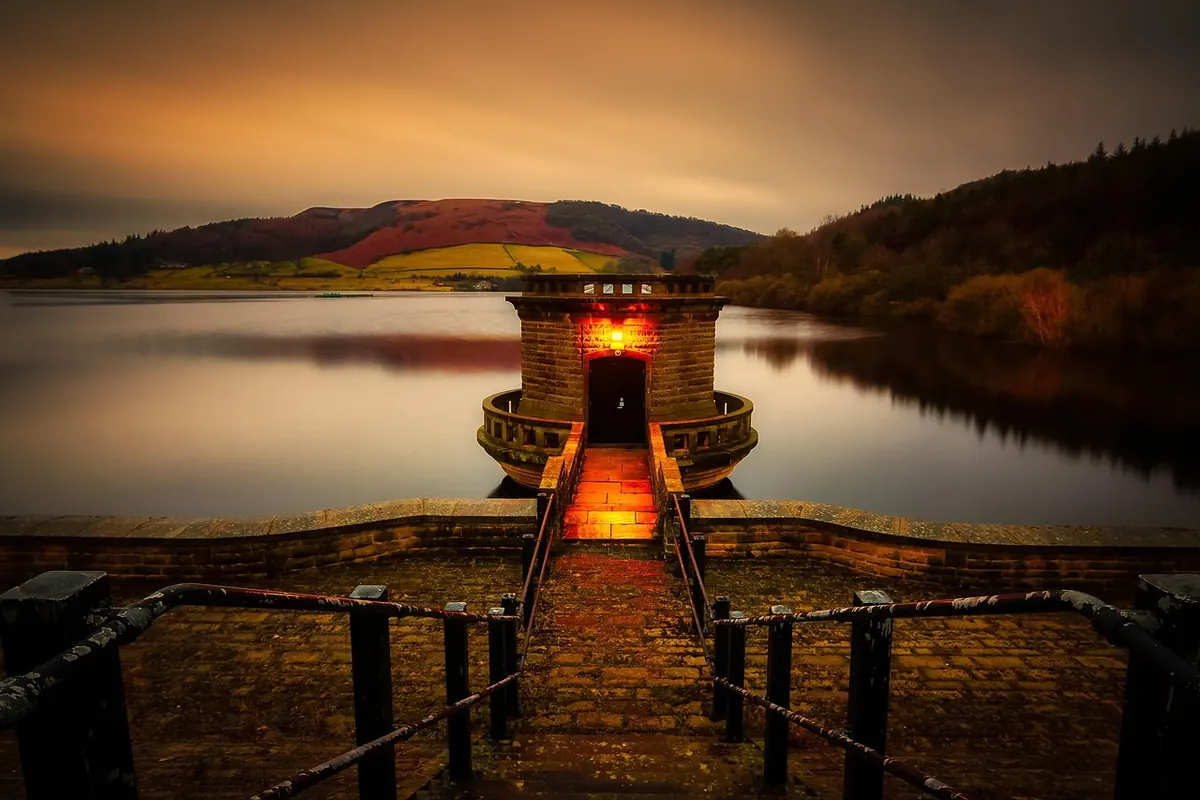
Photo: TimHill / Pixabay