
How to Read a Mountain Weather Forecast Before You Hike
The forecast on your phone says twelve degrees and light cloud. True enough at the car park, and almost meaningless for the day you have planned. Twelve degrees with a forty-mile-an-hour wind on an exposed ridge is a completely different outing: one where you wear everything you packed and still shiver on the summit cairn. The skill in reading a mountain forecast is not finding a better app. It is knowing which numbers matter, and what they mean for the particular hill in front of you.
Work through it in this order and most forecasts fall into place in a few minutes.
Wind is the number that changes your day
Temperature gets the attention; wind decides whether you enjoy yourself. Wind speed climbs sharply with height, so a breeze at the trailhead can be a different animal at 900 metres. Look at the average speed, then look at the gusts — gusts are what knock you off balance and force you to stop and brace.
Direction matters as much as strength. A south-westerly might mean a sheltered climb up a north-east facing corrie and a battering along the plateau on the way back. Think about your route in both directions. If the wind is behind you on the way up, it will be in your face coming down, when you are tired and less steady on your feet.
Wind also drives how cold you feel. Moving air pulls heat away far faster than still air at the same temperature, which is why a windproof layer does more for you than another fleece. If the wind forecast makes you wince, that is your body telling you something before you have left the house.
Cloud base and visibility
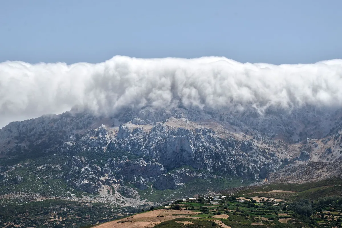
Mountain forecasts usually give cloud base as a height above sea level — say, 600 metres. That number only becomes useful once you compare it with your summit. A 600-metre cloud base under a 1,085-metre mountain means you will be in cloud for the top few hundred metres, with no view and a compass bearing for company.
Visibility is the other half of the picture. It is often given in metres, and anything under a few hundred metres on featureless ground changes the nature of the day. A clear path up a popular hill becomes a genuine navigation exercise when you cannot see the next cairn.
Cloud is not a switch
There is a difference between a cloudy day and being in the cloud. You can walk all day under grey skies and still see for miles. You can also walk into the cloud for twenty minutes and lose every landmark. If you are not confident with a map and compass, treat a low cloud base as a reason to pick a lower hill, a shorter route, or ground you know well.
Rain, snow and the shape of the day
Timing beats volume. Persistent rain arriving at two in the afternoon is a very different proposition from rain that clears by ten. If a front is due later, an early start can give you a dry ascent and a wet descent — often the better trade. Showers are more forgiving: they pass, and you can plan around them.
In winter, add two more numbers. The freezing level tells you roughly where rain turns to snow, and whether the paths you are relying on will be hard ice or soft slush. In Scotland between December and April, check the avalanche forecast for your area before committing to a snow-covered slope. If you have not trained for winter conditions, choose terrain that stays below the snow line rather than testing yourself on it.
Where the numbers come from
Dedicated mountain forecasts — the Met Office mountain pages and MWIS among them — are more useful than a town forecast, because they are written for hills rather than settlements. Even so, they cover broad areas. A forecast for a whole range is not a forecast for one summit. Hills make their own weather: the west side of a range can be soaked while the east stays dry, and a summit can be clear while the valley sits under cloud.
Use these forecasts for the pattern, then adjust for your hill's height, aspect and position. Check again on the morning you leave. A forecast that has changed overnight is information, not an inconvenience.
Deciding whether to go, adapt or cancel
Once you have the numbers, the decision usually makes itself. Three honest answers are available:
- Go as planned. Wind manageable, cloud above the summits, rain arriving after you are down. Enjoy it.
- Adapt. Strong gusts or a low cloud base mean you keep the day but change the route: a lower summit, a sheltered approach, a shorter circuit, or an earlier start to use the weather window.
- Cancel the hill, keep the day. If the wind will make walking difficult, visibility is minimal and the rain is set in, swap to a valley walk, a low-level forest circuit or a bothy day. Nothing is gained by forcing a summit.
The trick is deciding before you set off, not at the point where turning back feels like failure. Write down your cut-off — a time, a height, a junction — and stick to it.
A ten-minute routine before you go
Run through this the night before and again over breakfast.
- Identify your summit and its height.
- Find the cloud base forecast. Is your summit above it?
- Note the wind speed and gusts at summit level, plus direction.
- Note when rain or snow arrives, and the freezing level in winter.
- Check daylight hours against your estimated finishing time, with a margin.
- Choose your cut-off point and your Plan B hill.
- Leave your route and expected return time with someone.
None of this takes long, and none of it requires expert knowledge. It means arriving at the car park with a clear idea of what the day is likely to do — and the good sense to change the plan when the forecast says so. That is the difference between a walk you remember for the right reasons and one you simply endure.
Photo: Moussa Idrissi / Pexels